Fish Stock Survey of Lough Bridget, August 2022
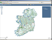
Lough Bridget, known locally as Silvergrove Lake, is located 5kms from Tulla on the Scariff road, Co. Clare (Figure 1.1). It has a surface area of 55ha, a mean depth of <4m and a maximum depth of 18.5m. The lake is categorised as typology class 12 (as designated by the EPA for the Water Framework […]