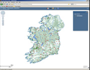
WFD Map Viewer

This interactive GIS map currently has results from our Water Framework Directive fish monitoring surveys; river, lake and estuary. Over time it will be populated with additional datasets from the other research programmes and projects being run at Inland Fisheries Ireland.
